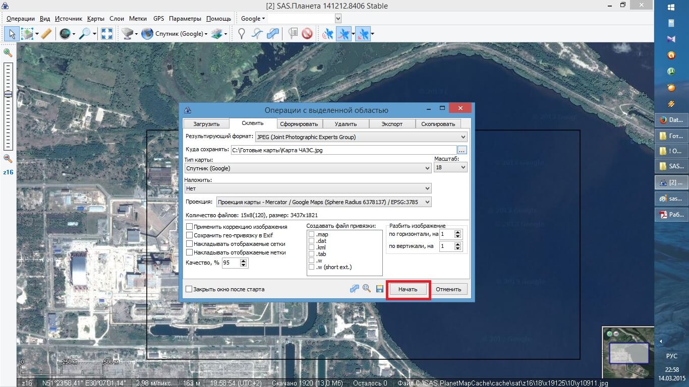
SAS. Planet pour Windows est un utilitaire qui vous permet de visualiser les photos prises par satellite. Le principal avantage du programme est les photos de haute résolution, qui ont été prises à partir de services tels que Google, Yandex, Mail, Virtual Earth et bien d'autres. Une autre commodité est que toutes les cartes peuvent être téléchargées en mode hors ligne. La base de données contient déjà des cartes des plans politiques et paysagers. Chaque utilisateur peut suivre ce lien se trouvé sur cette page et télécharger gratuitement le logiciel SAS. Planète pour Windows sur votre PC.
L'utilitaire est adapté pour l'installation sur la plate-forme Windows XP, Vista, 11, 10, 8, 7, 32/64-bit.
Fonctions et caractéristiques du programme
- navigation dans tous les lieux géographiques;
- mesure de la longueur de la route;
- navigation rapide sur les coordonnées GPS;
- vue de la Terre par satellite;
- créer des photos par satellite;
- images de la Terre et de tout son terrain;
- données de géo-objet;
- carte de la Terre;
- réglage de l'itinéraire;
- vue panoramique sur la rue;
- enregistrer des fragments de cartes.
Télécharger le programme SAS Planet pour Windows
Vous pouvez télécharger l'utilitaire via un lien direct sur notre site. Le programme est conçu pour Windows XP, Vista, 11, 10, 8, 7, 32/64 bit. Le logiciel est totalement gratuit. Par conséquent, suivez le lien pour télécharger le dossier d'archive, enregistrez, décompressez les fichiers et vous pouvez utiliser le programme.
Conclusion
SAS. Planet fait référence à une application unique conçue spécifiquement pour Windows OS. Avec l'utilitaire, l'utilisateur peut télécharger et afficher des cartes du monde entier et de la Terre, et surtout, avec une haute résolution. Et si vous n'avez pas encore vu de telles images fascinantes de la planète, SAS. Planet pour Windows fera face à la tâche à 100%.
